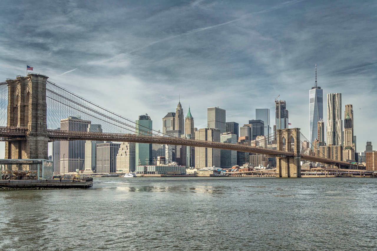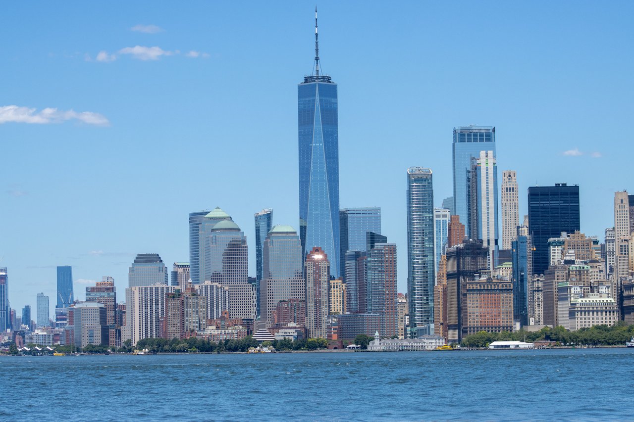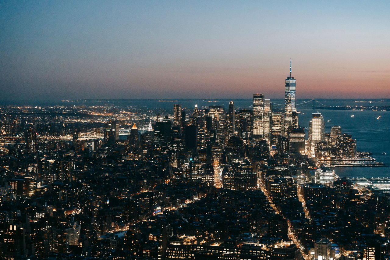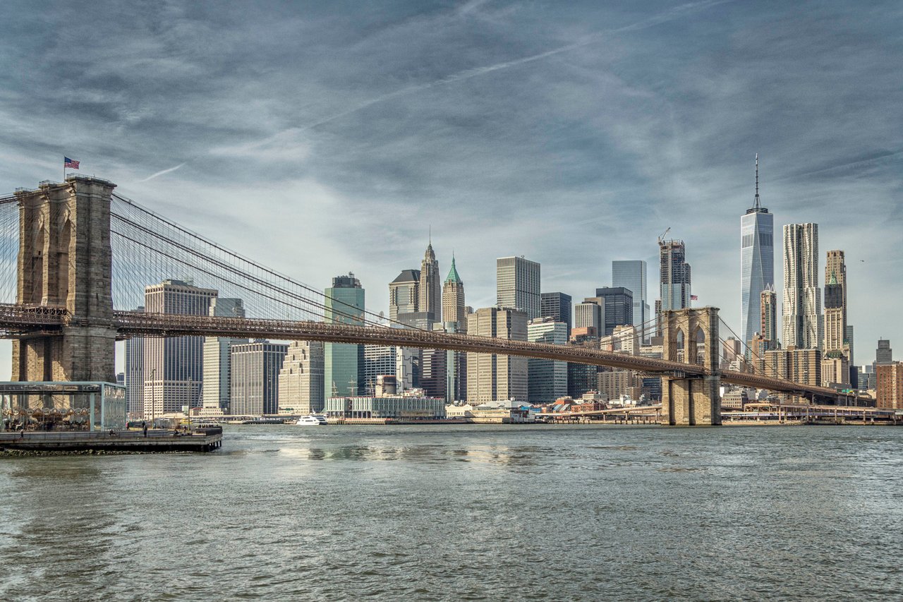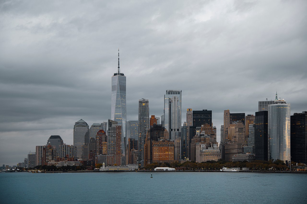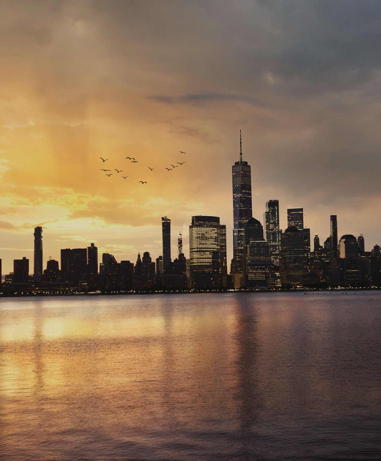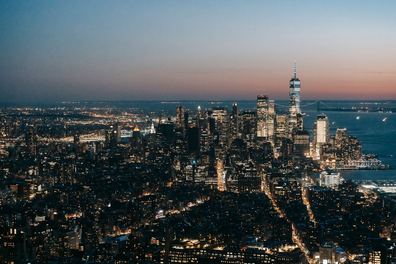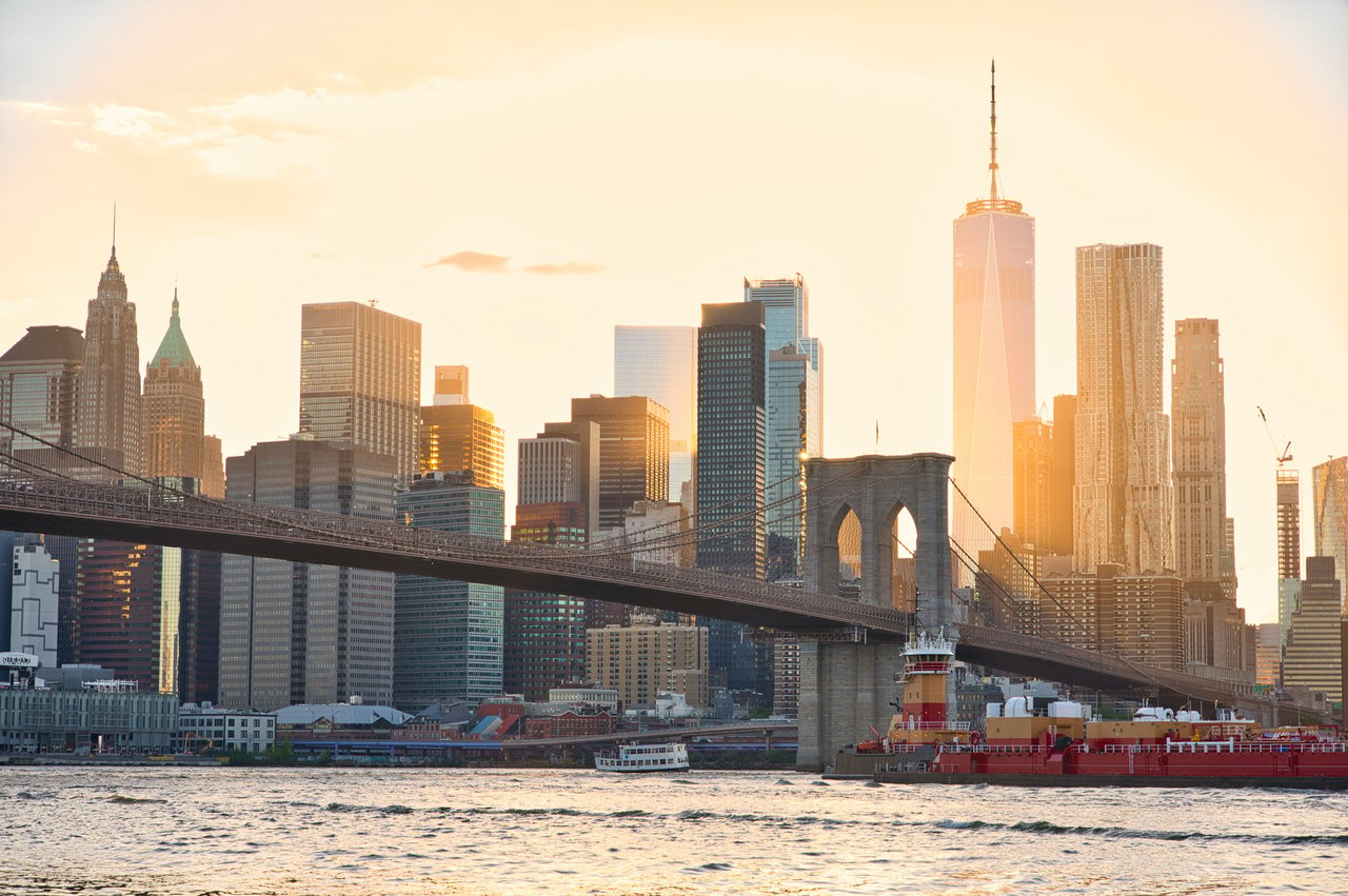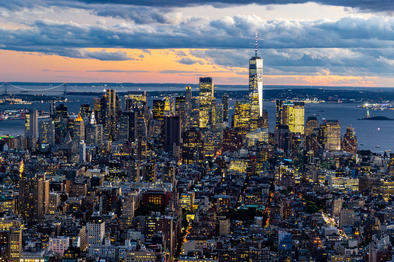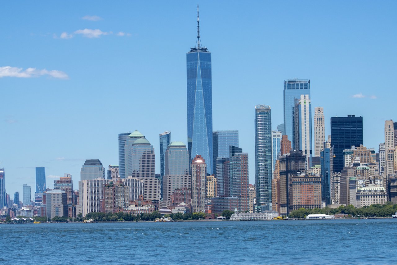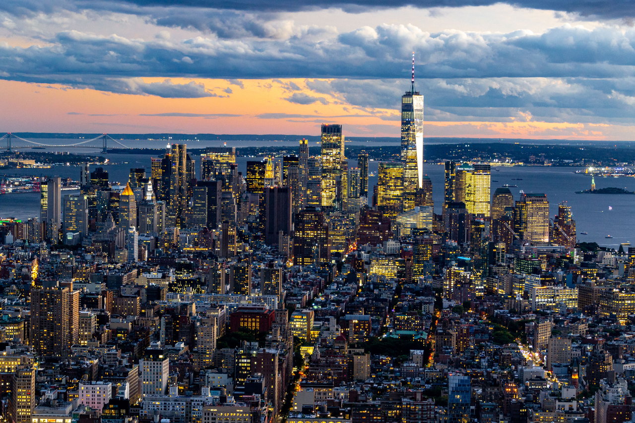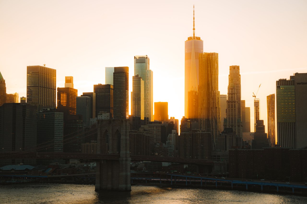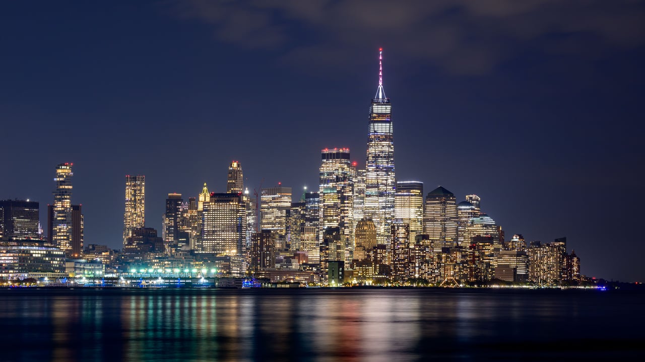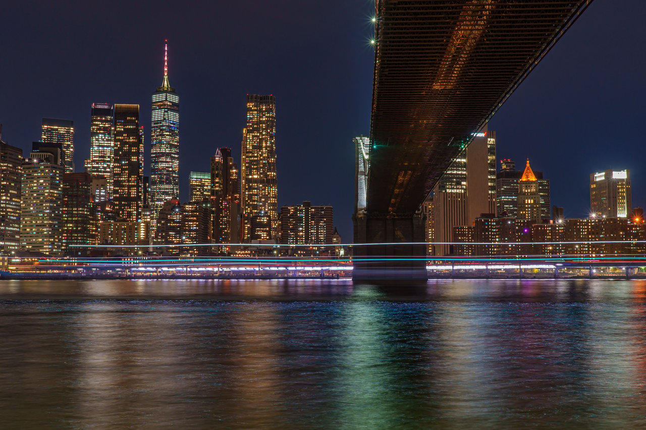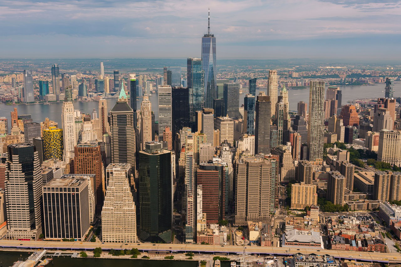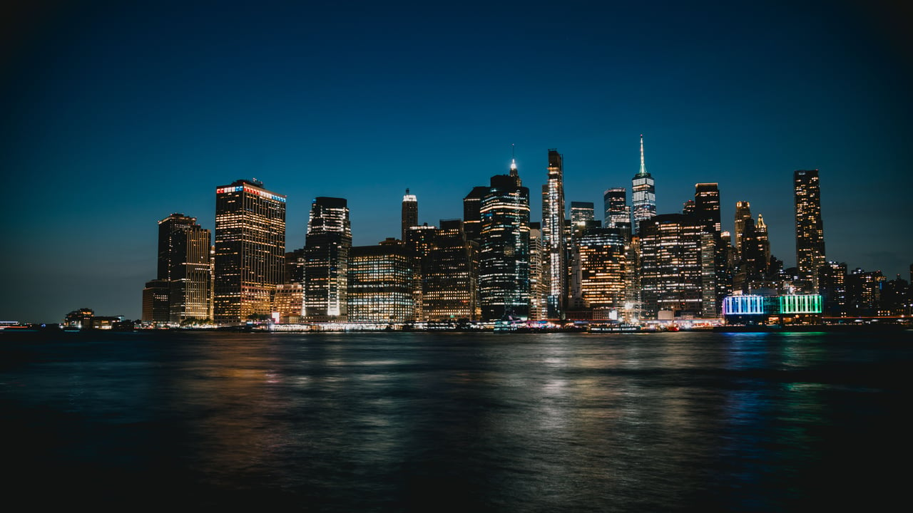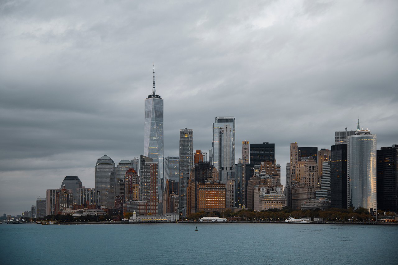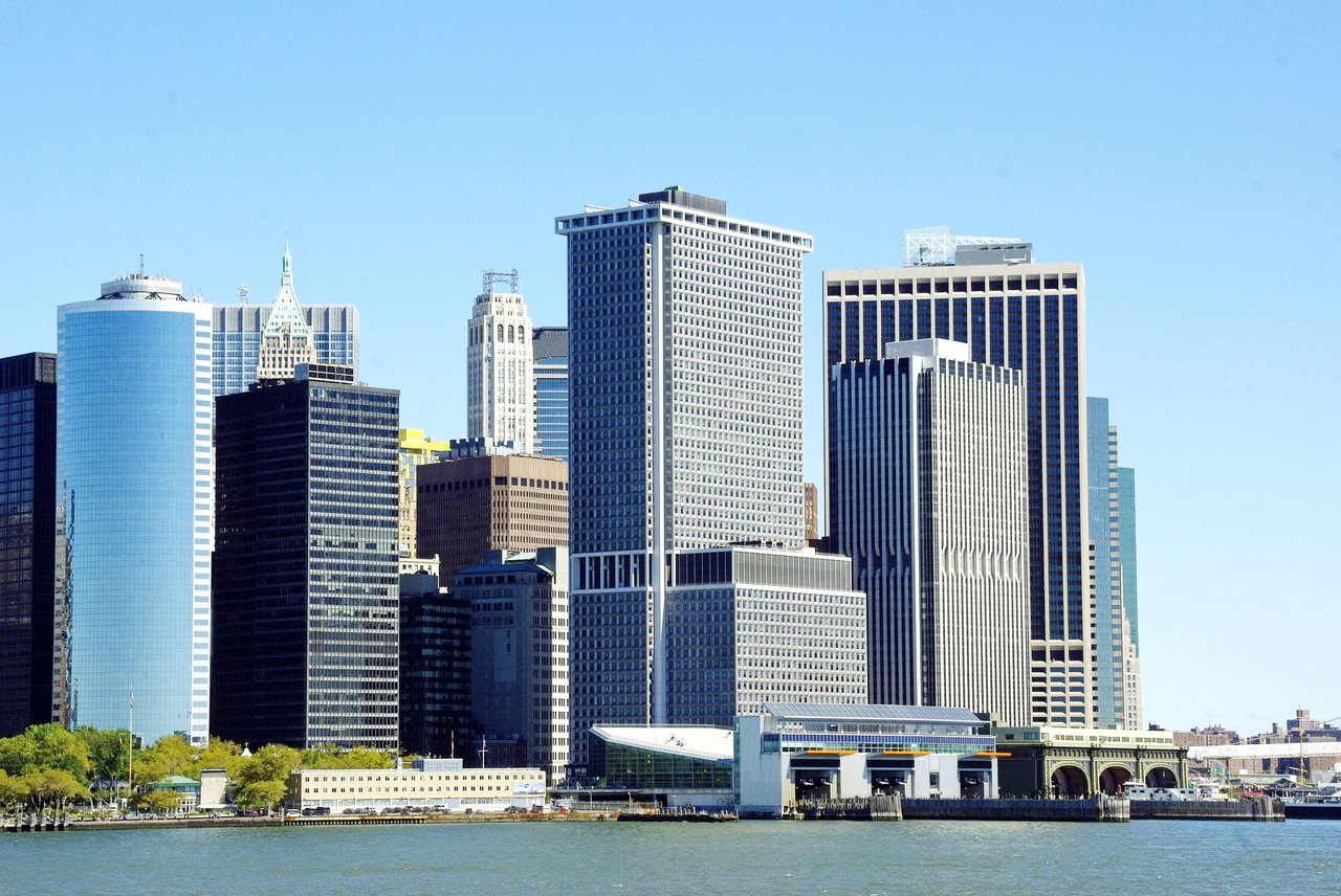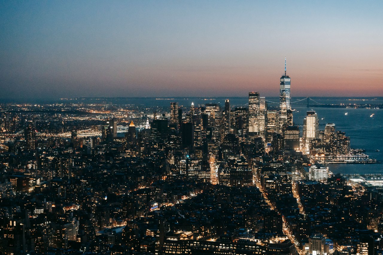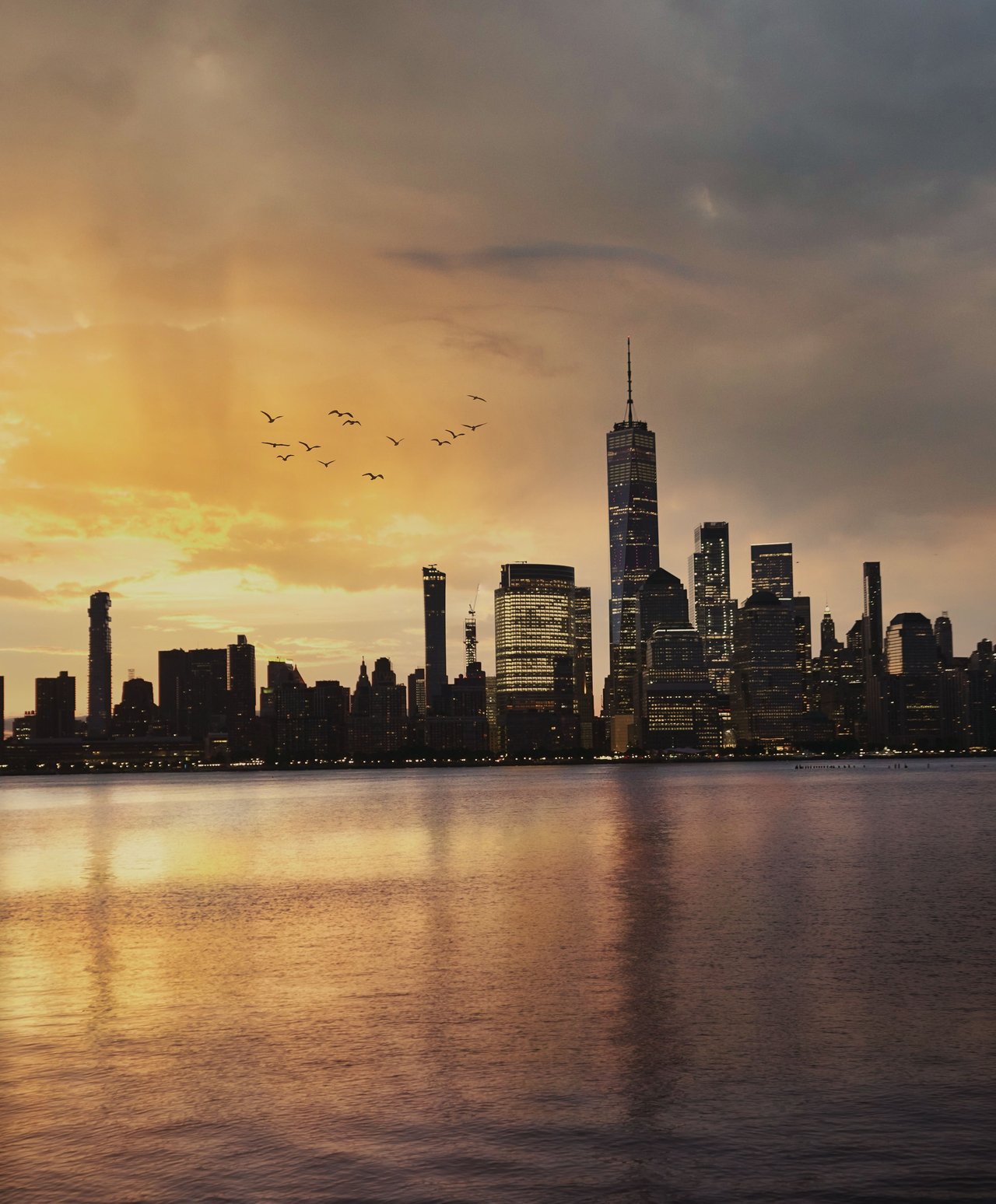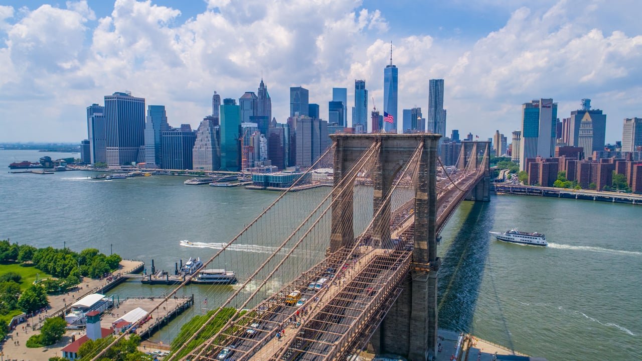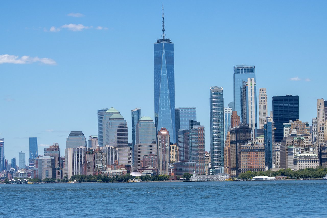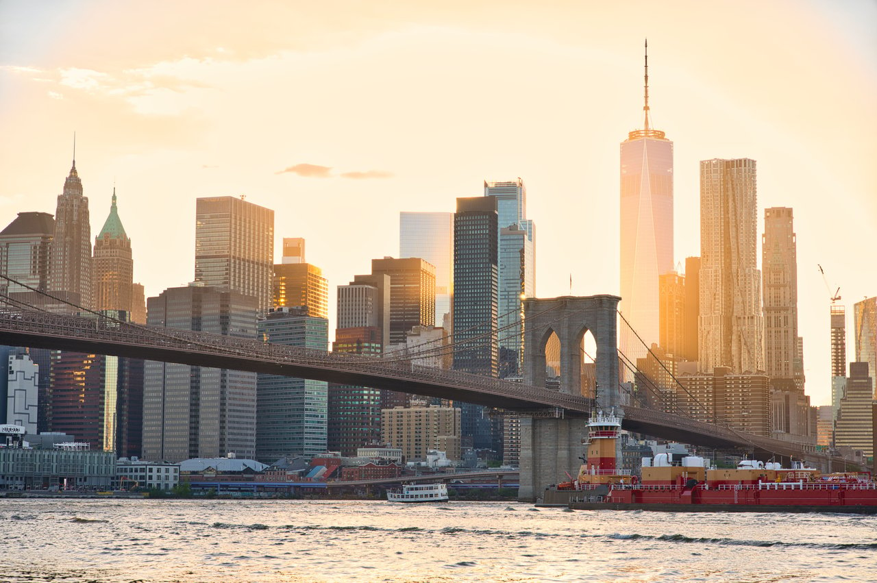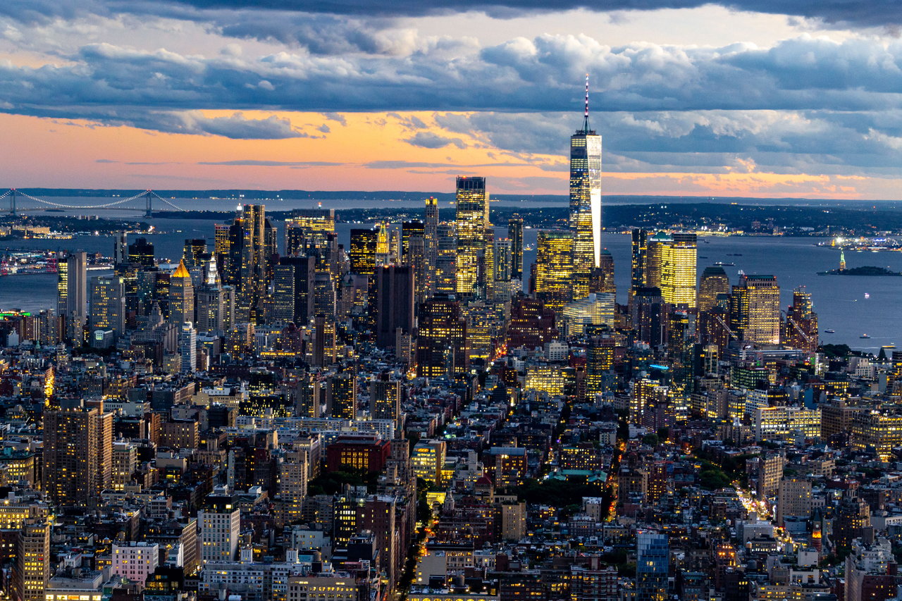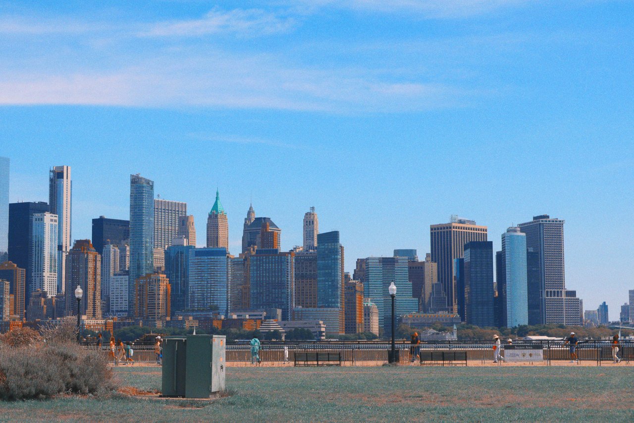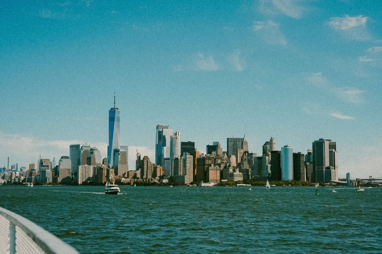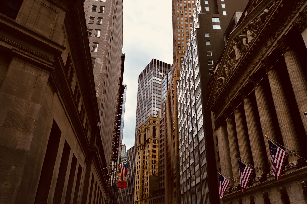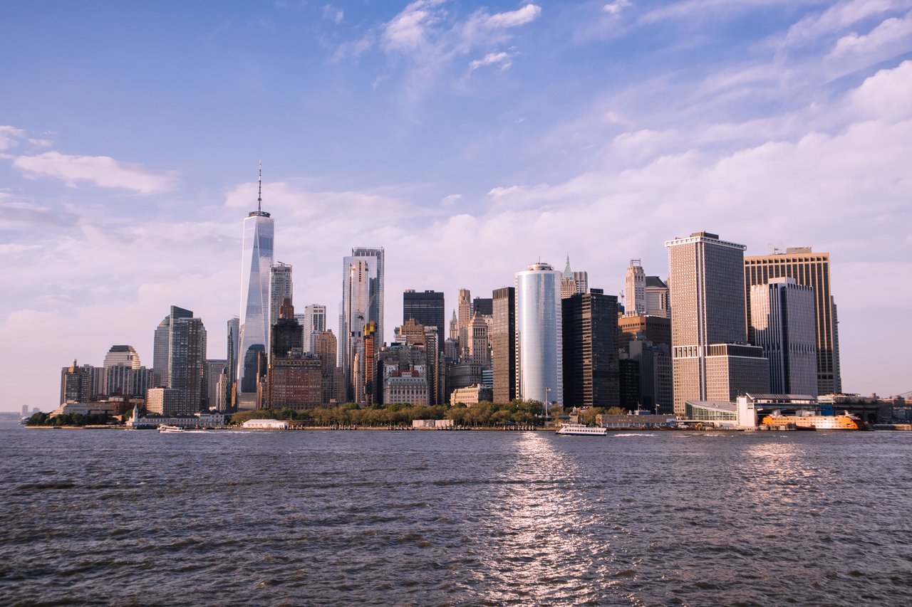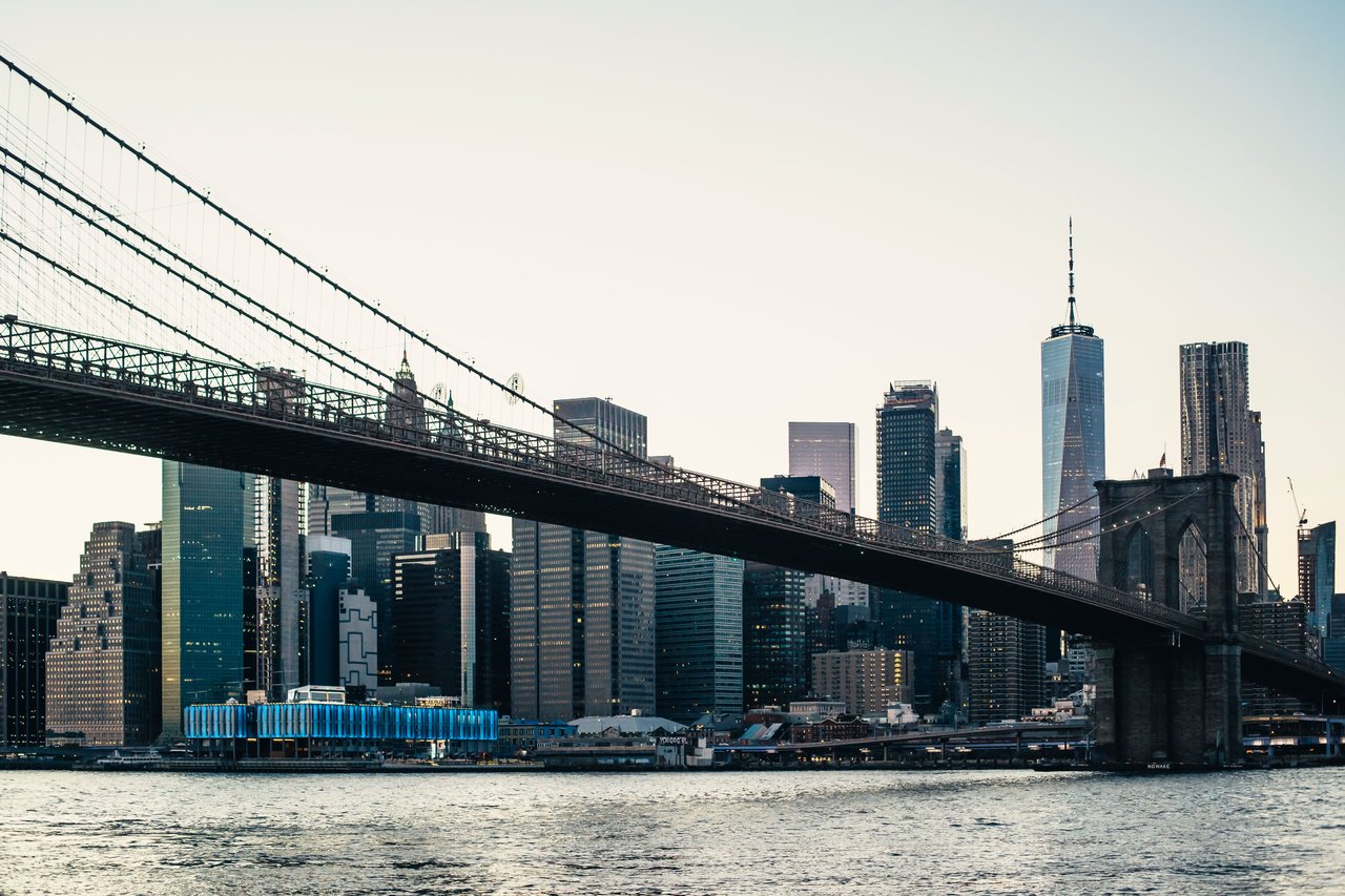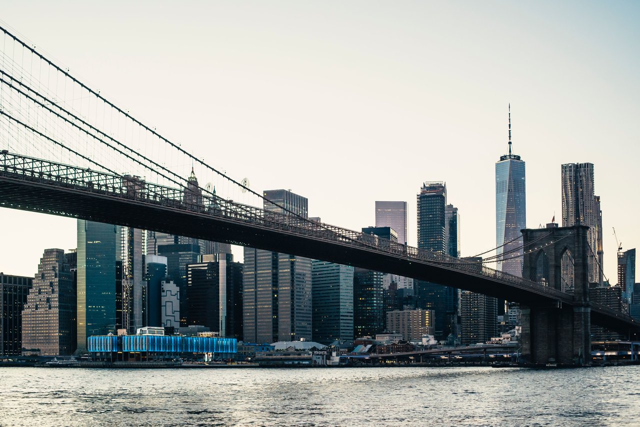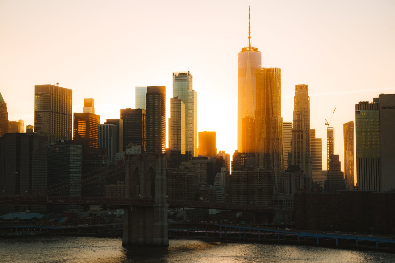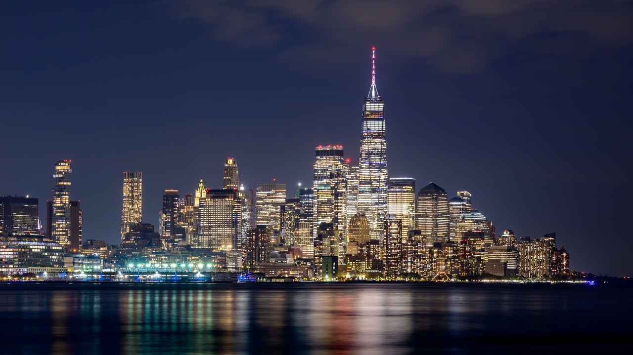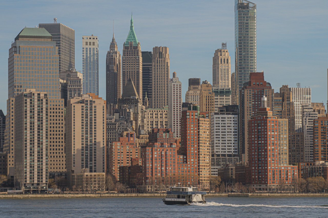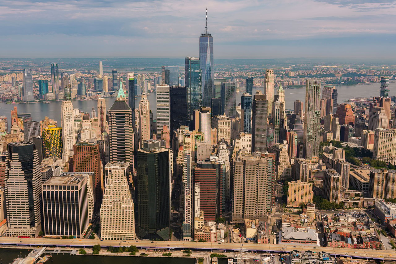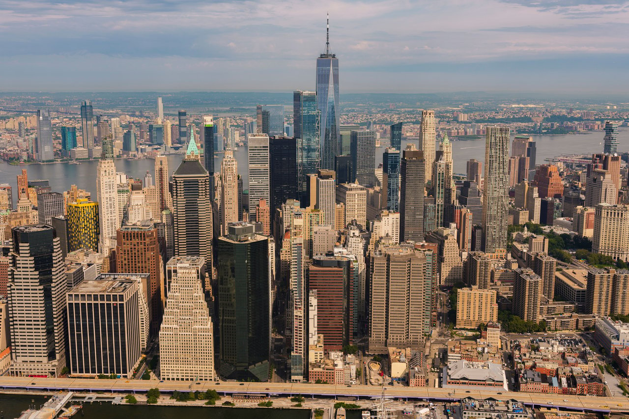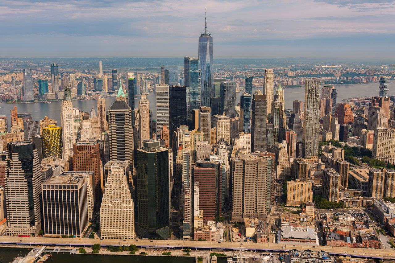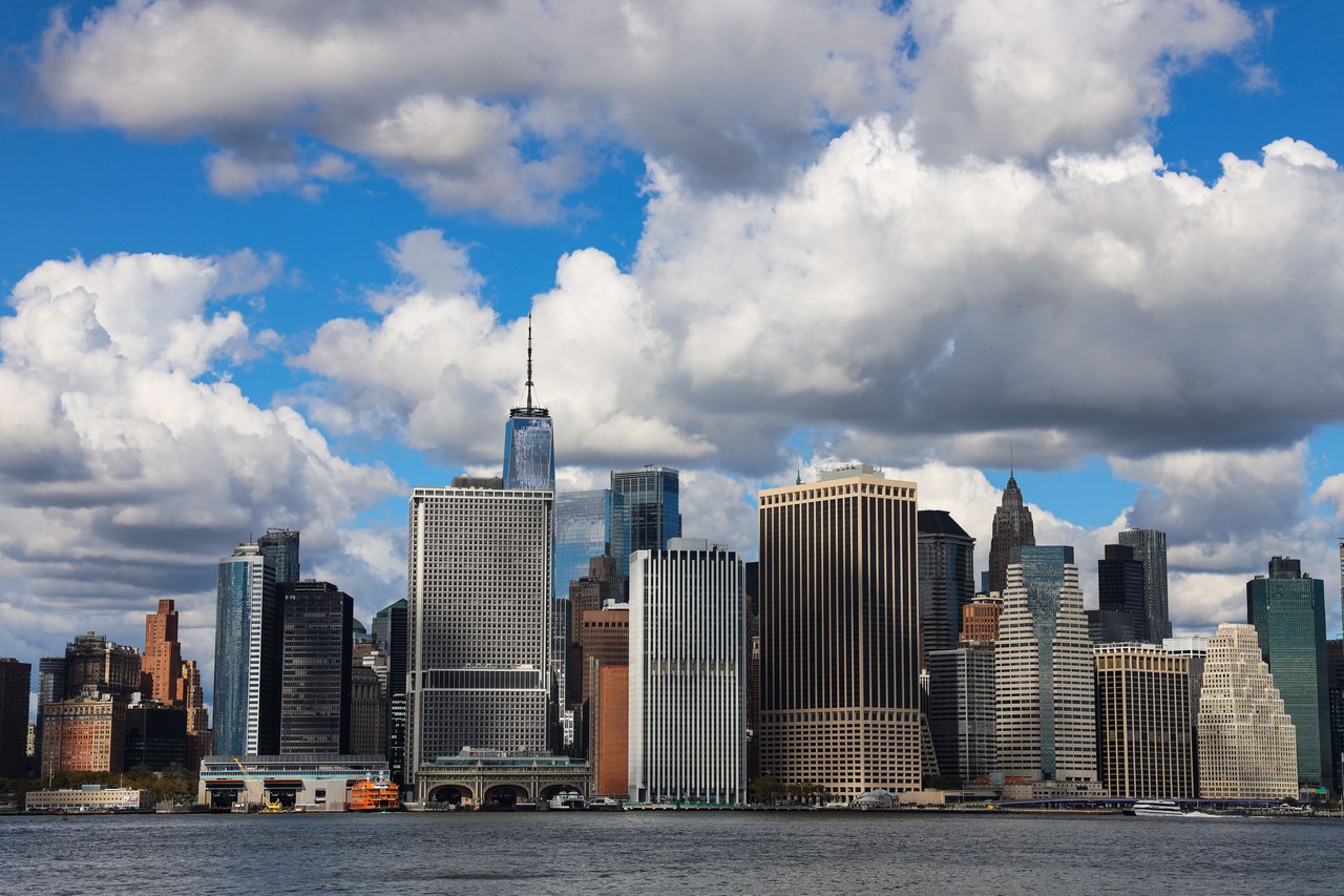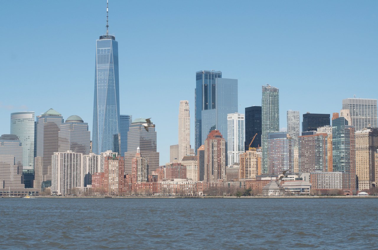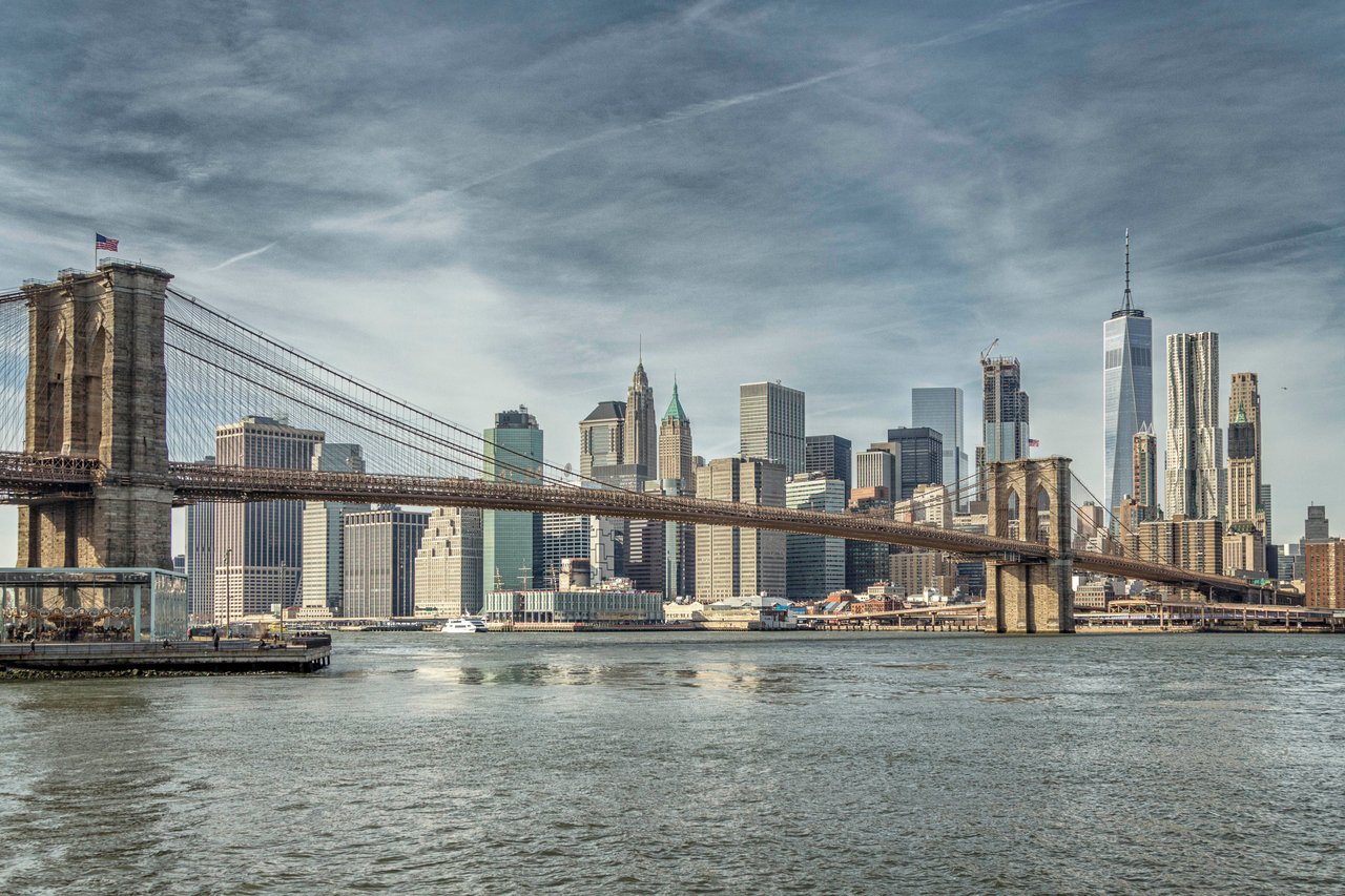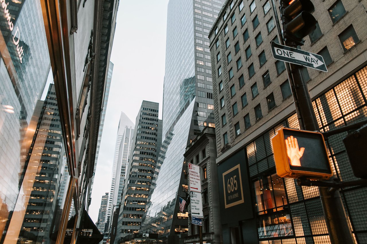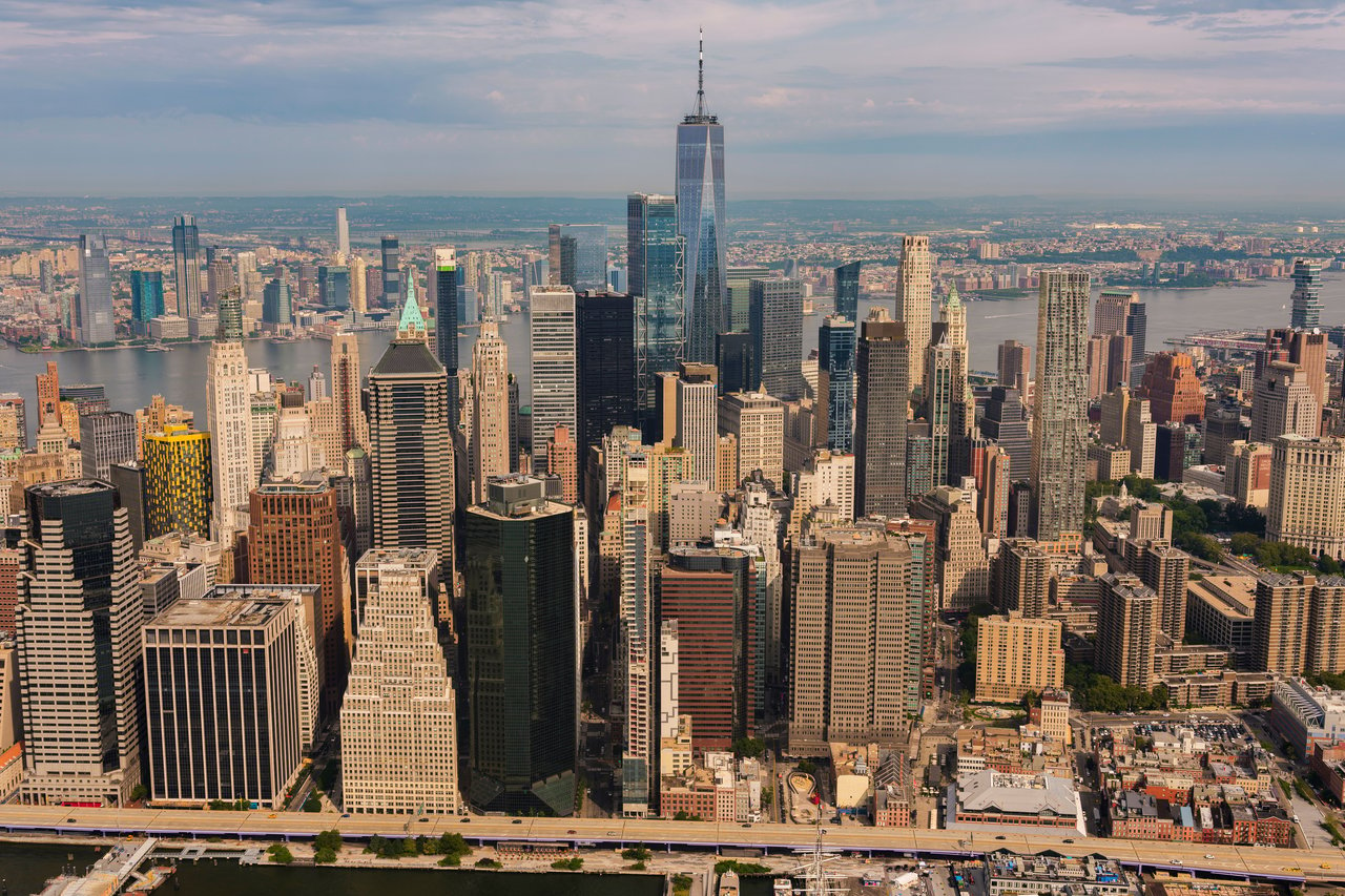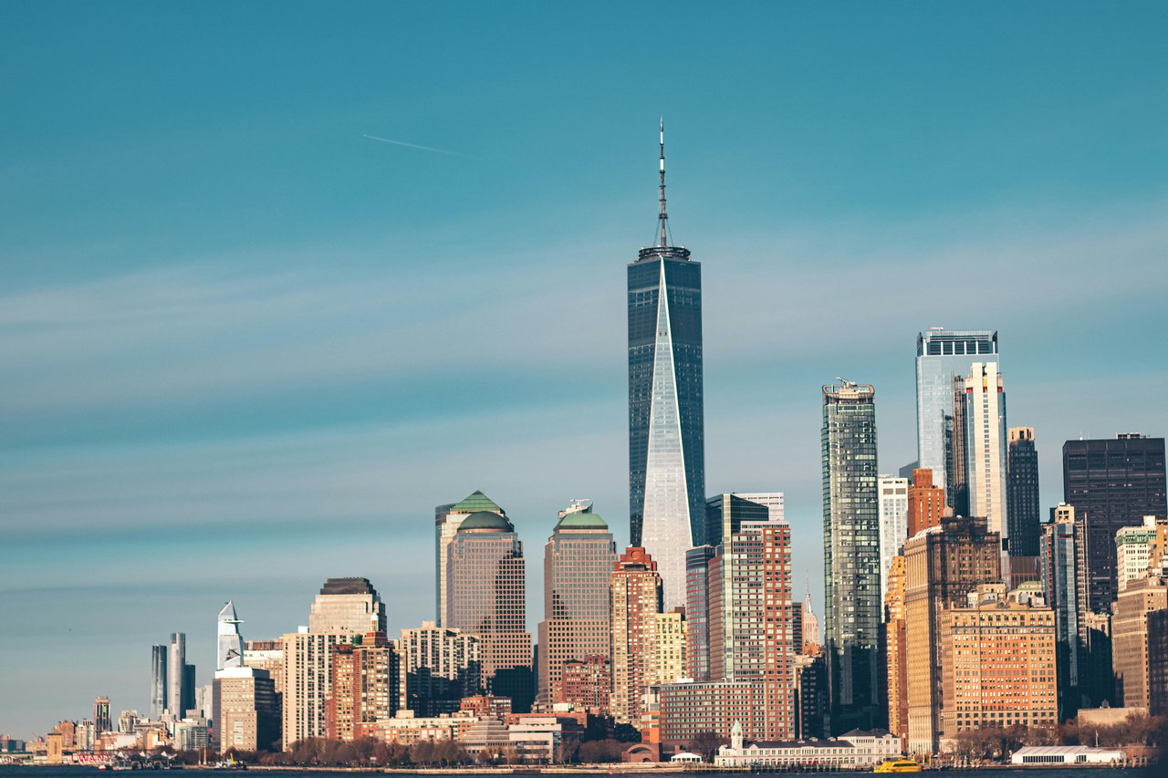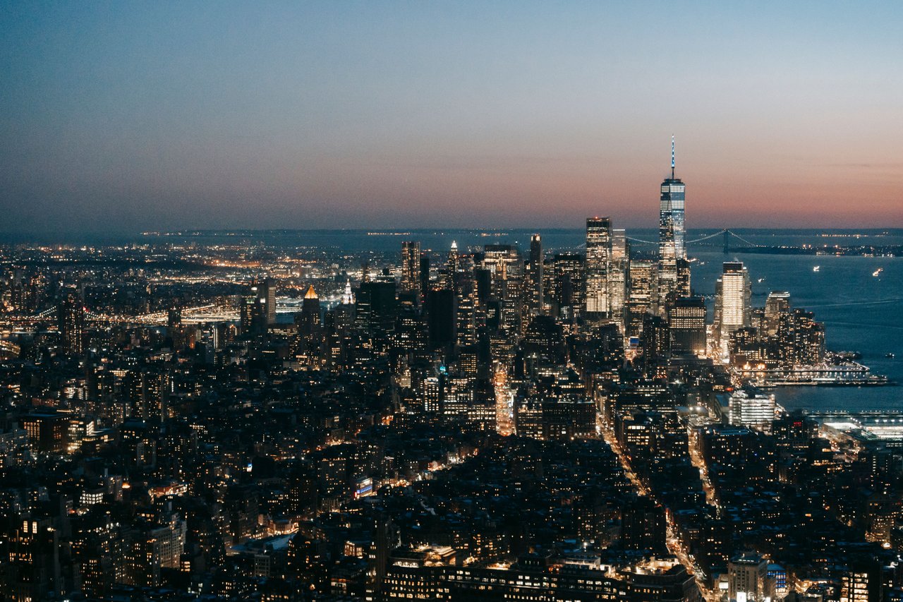
The Battery Park City Esplanade is one of Lower Manhattan's most distinctive waterfront landmarks, extending along the Hudson River through Battery Park City, immediately west of the Financial District. Unlike the historic commercial streets of downtown Manhattan, the esplanade was created as part of a modern waterfront redevelopment project that transformed former industrial shoreline into landscaped public spaces, residential neighborhoods, and pedestrian promenades.
Stretching along the western edge of Battery Park City, the esplanade connects waterfront parks, contemporary residential buildings, gardens, and public gathering spaces. Its surroundings include Rockefeller Park, North Cove, South Cove, the northern residential district, and the landscaped waterfront areas near Battery Park.
The esplanade is an important example of modern urban planning in New York City. Its development reflects the transformation of Manhattan's Hudson River waterfront from a commercial shipping corridor into a continuous public landscape, while connecting the historic Financial District with contemporary residential architecture.
The History of the Battery Park City Esplanade
The Battery Park City Esplanade was developed as part of the larger Battery Park City redevelopment project during the late twentieth century. Before this transformation, the western shoreline of Lower Manhattan was dominated by shipping facilities, commercial piers, warehouses, and transportation infrastructure supporting New York's maritime economy.
As shipping technology and commercial transportation changed during the twentieth century, many older waterfront facilities became obsolete. The decline of traditional maritime activity created opportunities to reconsider how Manhattan's shoreline could be used.
The Battery Park City Authority was established in 1968 to oversee the creation of a new neighborhood on reclaimed land along the Hudson River. The project introduced residential buildings, commercial developments, parks, landscaped streets, and public waterfront access.
The esplanade became one of the defining elements of this plan. Rather than allowing individual buildings to occupy the waterfront without continuous public access, Battery Park City's planners incorporated a connected pedestrian promenade along the shoreline.
Its development established a new relationship between Lower Manhattan's architecture and the Hudson River.
Why Is It Called the Battery Park City Esplanade?
The name Battery Park City Esplanade reflects both its location and its architectural purpose.
Battery Park City takes its name from its proximity to Battery Park at the southern end of Manhattan. The word Batteryrefers to the historic artillery defenses associated with the island's southern shoreline.
An esplanade is a broad, open promenade designed for walking, often located beside a waterfront or other prominent landscape.
The name therefore describes the waterfront walkway that runs through Battery Park City. Unlike historic streets named after colonial property owners or commercial figures, the esplanade's identity is directly connected to its function as a public landscape.
The Hudson River Before Battery Park City
During the nineteenth century, the Hudson River waterfront was among New York City's most important commercial environments. Piers, warehouses, shipping terminals, and transportation facilities lined Manhattan's western shoreline, supporting the movement of goods between the city and other ports.
The waterfront was primarily designed for industrial and commercial purposes. Access to the river was closely connected to shipping operations rather than the continuous public parks and promenades familiar today.
As the twentieth century progressed, changes in cargo handling and transportation reduced the importance of many traditional Manhattan piers. This shift helped create the conditions for major waterfront redevelopment.
The Battery Park City Esplanade represents the reversal of that earlier shoreline pattern, replacing fragmented industrial access with a continuous public waterfront experience.
The Creation of Battery Park City
Battery Park City is one of New York's most ambitious examples of planned urban development. Constructed on land created along the Hudson River, the neighborhood introduced an entirely new street and building arrangement beside the historic Financial District.
The development was guided by a comprehensive planning framework that organized residential districts, commercial buildings, parks, and public spaces. The 1979 Battery Park City Master Plan, associated with Cooper Eckstut, helped establish the neighborhood's urban design direction.
Instead of creating an isolated collection of residential towers, the plan emphasized streets, building blocks, parks, and connections to the surrounding city.
The waterfront esplanade became a central organizing feature, providing a continuous public edge along the Hudson River and linking the neighborhood's northern and southern landscapes.
The Architecture of the Battery Park City Esplanade
The architectural character of the Battery Park City Esplanade differs significantly from that of the historic Financial District.
Along the esplanade, contemporary residential buildings, landscaped parks, plazas, and waterfront structures create a carefully planned environment. The surrounding architecture incorporates brick, stone, metal, and glass, reflecting different phases of late twentieth-century and contemporary development.
Many residential buildings were designed to relate to the surrounding public spaces through their setbacks, building entrances, facades, and views toward the river.
The esplanade itself is an architectural landscape, with paving, planting, seating, railings, and pedestrian circulation contributing to its overall design.
Its defining feature is the relationship between the buildings and the waterfront, where public access remains a central element of the neighborhood's identity.
The Battery Park City Esplanade and Rockefeller Park
Rockefeller Park is one of the most important landscapes connected to the Battery Park City Esplanade. Located in the northern section of Battery Park City, the park contains expansive lawns, gardens, pedestrian pathways, and waterfront views.
The park was designed as part of the neighborhood's broader public-space network, providing a substantial landscaped setting beside the residential buildings of northern Battery Park City.
The esplanade runs along the park's western edge, creating a continuous connection between the landscaped interior and the Hudson River shoreline.
This relationship illustrates one of Battery Park City's central planning principles: public parks and waterfront access should form an integrated part of the neighborhood rather than exist as separate destinations.
The Battery Park City Esplanade and River Terrace
River Terrace is one of the principal residential streets in northern Battery Park City. Its buildings overlook or sit near landscaped public spaces, including Rockefeller Park and the Hudson River waterfront.
The street reflects the neighborhood's planned residential development, with contemporary buildings, landscaped surroundings, and connections to nearby pedestrian routes.
The Battery Park City Esplanade provides an important waterfront connection for the surrounding River Terrace area. Together, the street and promenade demonstrate how residential architecture and public landscapes were coordinated within the neighborhood's larger design.
The Battery Park City Esplanade and North End Avenue
North End Avenue is another important street in northern Battery Park City, connecting residential buildings, commercial spaces, and public amenities.
Its layout reflects the coordinated development of the neighborhood rather than the irregular colonial street network of the Financial District.
The Battery Park City Esplanade complements North End Avenue by providing a waterfront pedestrian route parallel to portions of the neighborhood's internal street system.
The relationship between these spaces illustrates how Battery Park City accommodates both traditional city streets and landscaped pedestrian environments.
The Battery Park City Esplanade and North Cove
North Cove is a distinctive waterfront feature in the central portion of Battery Park City. The marina creates an interruption in the straight shoreline, introducing a sheltered harbor surrounded by commercial buildings, public spaces, and pedestrian walkways.
The Battery Park City Esplanade connects with the waterfront circulation surrounding North Cove, where the architectural character shifts from residential parks to a more commercially oriented setting.
The marina is an important element of Battery Park City's waterfront design because it preserves a direct visual and functional relationship with the Hudson River.
Its surrounding public spaces demonstrate how the redevelopment incorporated different waterfront experiences into one connected neighborhood.
The Battery Park City Esplanade and Brookfield Place
Brookfield Place is one of Lower Manhattan's most recognizable waterfront commercial complexes. Located beside North Cove, the development includes office buildings, public interior spaces, and a prominent connection to the Hudson River.
The complex, originally developed as the World Financial Center, was designed by architect César Pelli and completed in phases during the 1980s.
Its architecture reflects the commercial expansion of Battery Park City and the introduction of large-scale office buildings along the western waterfront.
The Battery Park City Esplanade provides a pedestrian connection to the surrounding public spaces and waterfront landscape.
The relationship between Brookfield Place and the esplanade demonstrates how Battery Park City integrates commercial architecture with public waterfront access.
The Battery Park City Esplanade and South Cove
South Cove is one of Battery Park City's most distinctive landscaped waterfront spaces.
Designed by Mary Miss in collaboration with landscape architect Susan Child and architect Stanton Eckstut, the project was completed in the late 1980s.
Its design incorporates a curved waterfront edge, planted areas, and architectural elements that create a distinctive relationship between the city and the river.
Unlike a conventional linear promenade, South Cove introduces a more sculptural waterfront landscape.
The Battery Park City Esplanade connects with this environment, demonstrating how the neighborhood's shoreline includes a variety of landscape designs rather than one uniform waterfront treatment.
The Battery Park City Esplanade and Wagner Park
Wagner Park occupies an important position near the southern end of Battery Park City, where the waterfront landscape approaches Battery Park and the historic southern tip of Manhattan.
The park was originally developed as part of Battery Park City's public-space network, with landscaped areas and connections to the Hudson River waterfront. Its original design was associated with Laurie Olin and Machado and Silvetti.
The park area has also been the subject of a major coastal resilience redesign, reflecting the growing importance of flood protection and waterfront infrastructure in Lower Manhattan.
The esplanade's relationship with Wagner Park illustrates how public waterfront spaces continue to evolve in response to changing environmental and urban planning needs.
The Battery Park City Esplanade and the Financial District
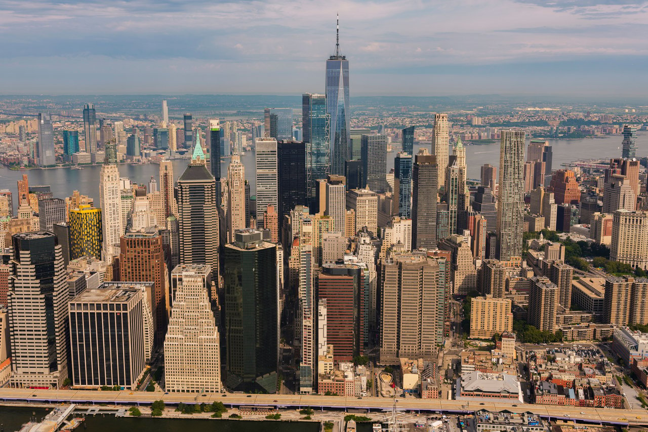
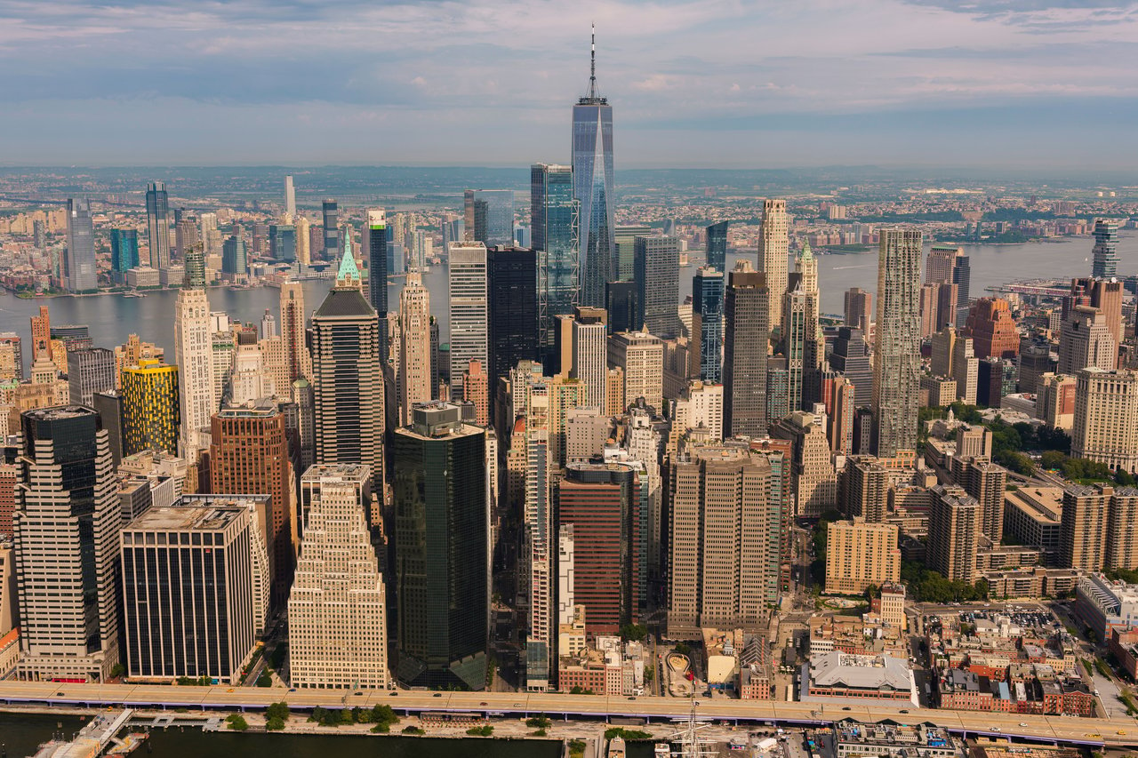
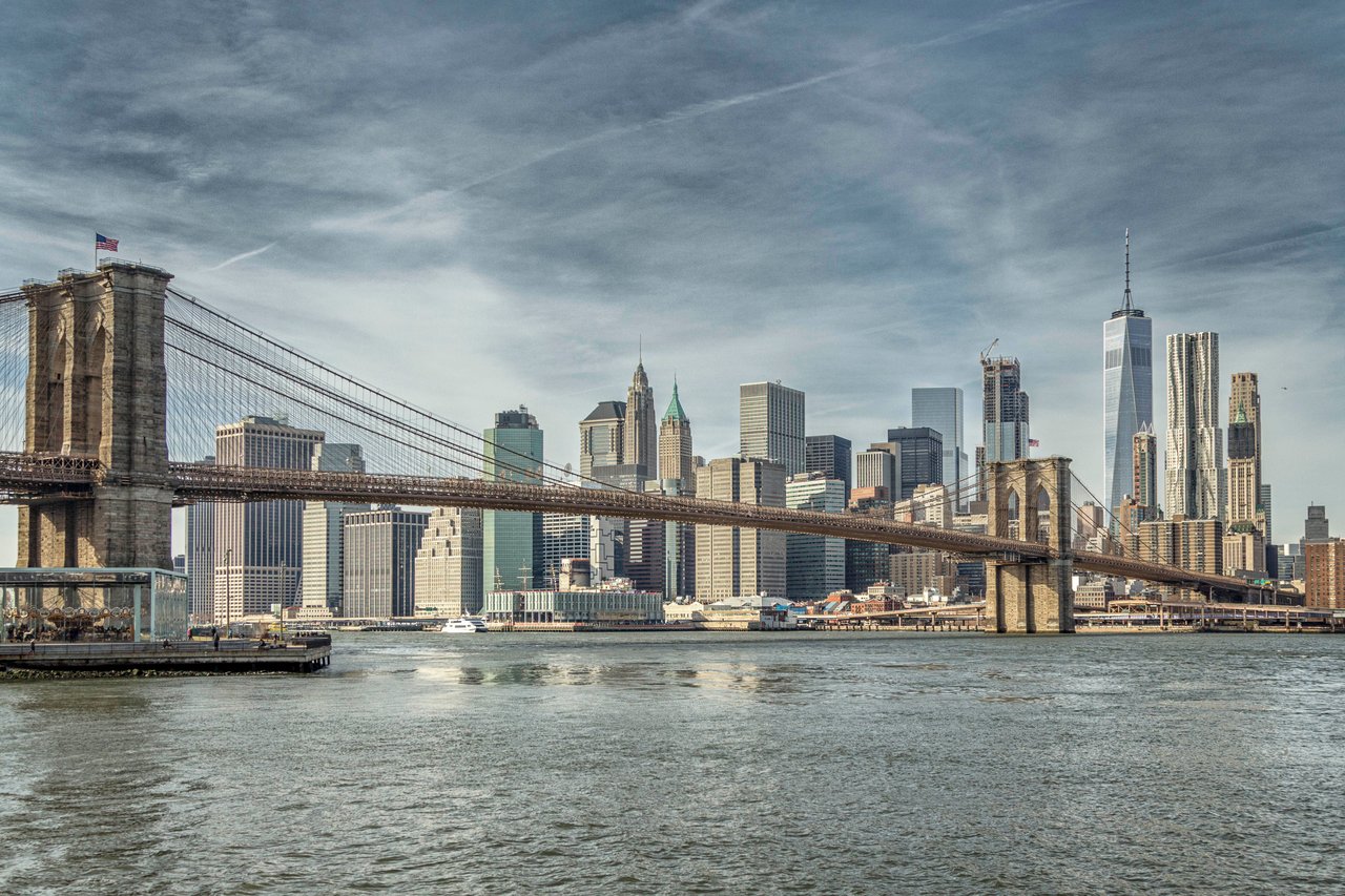
The Battery Park City Esplanade is located immediately west of Manhattan's historic Financial District.
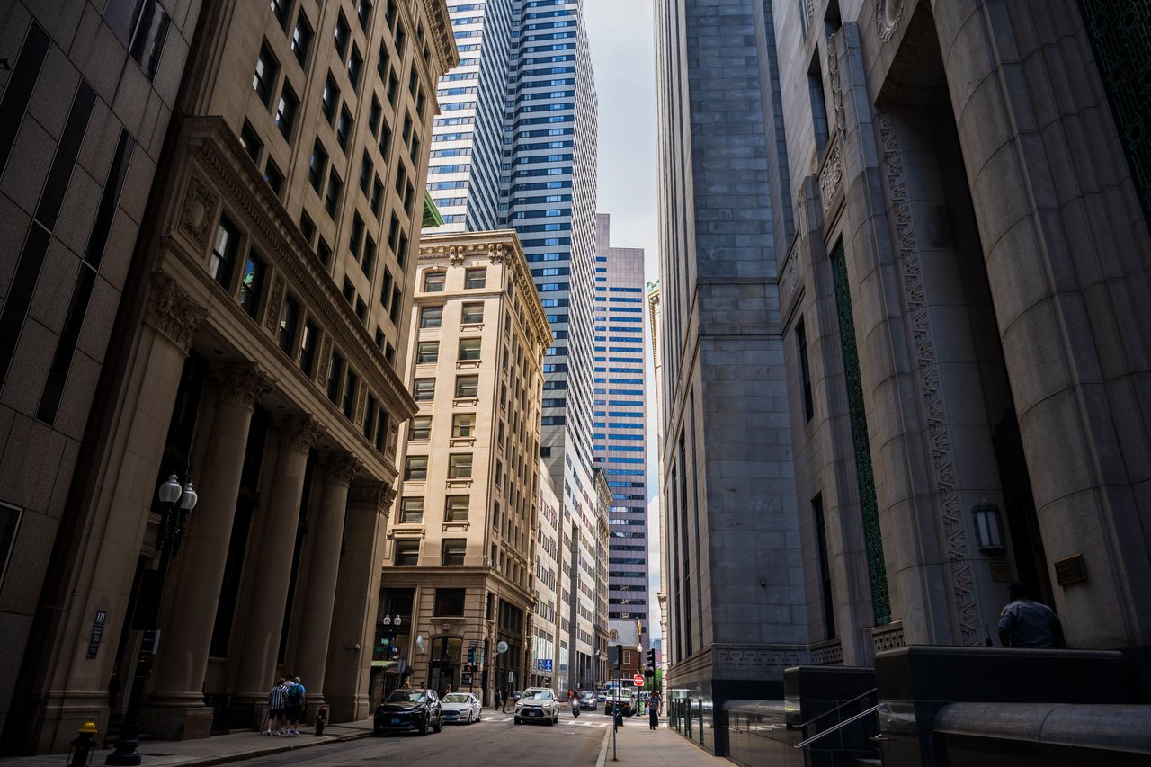
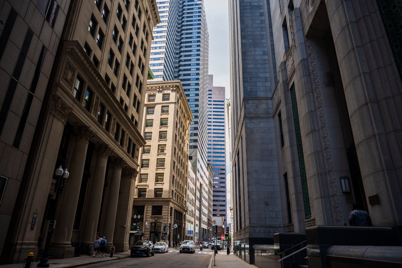
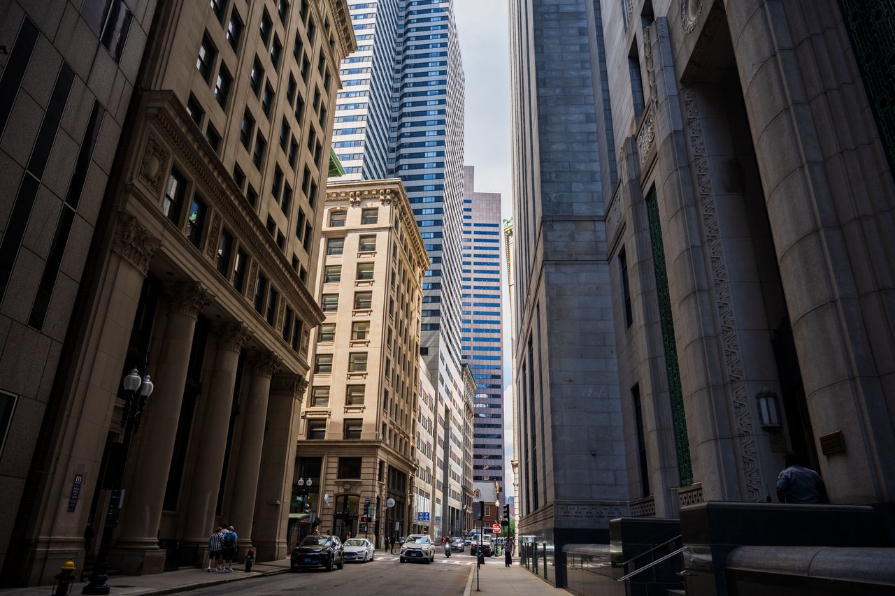
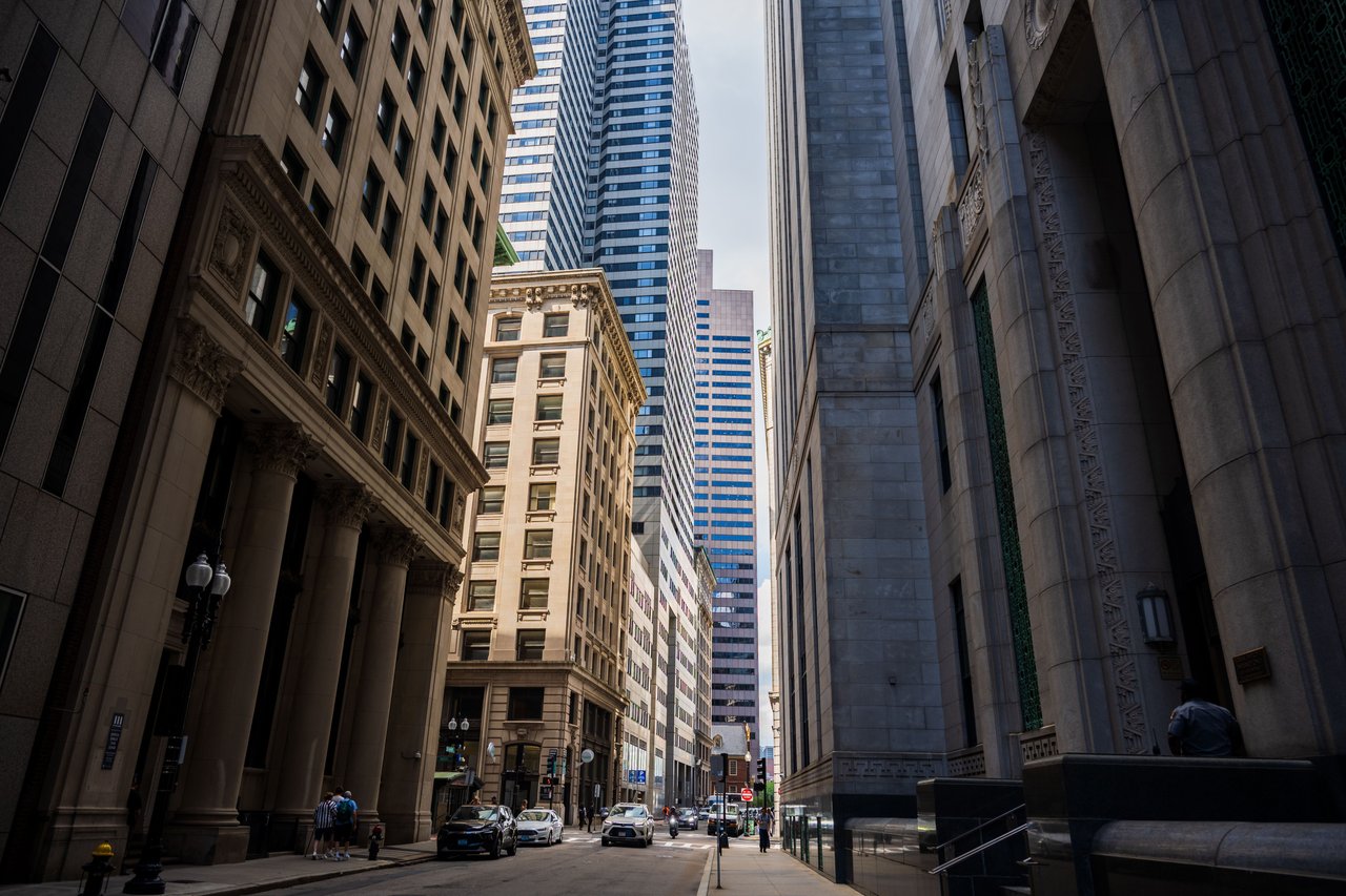
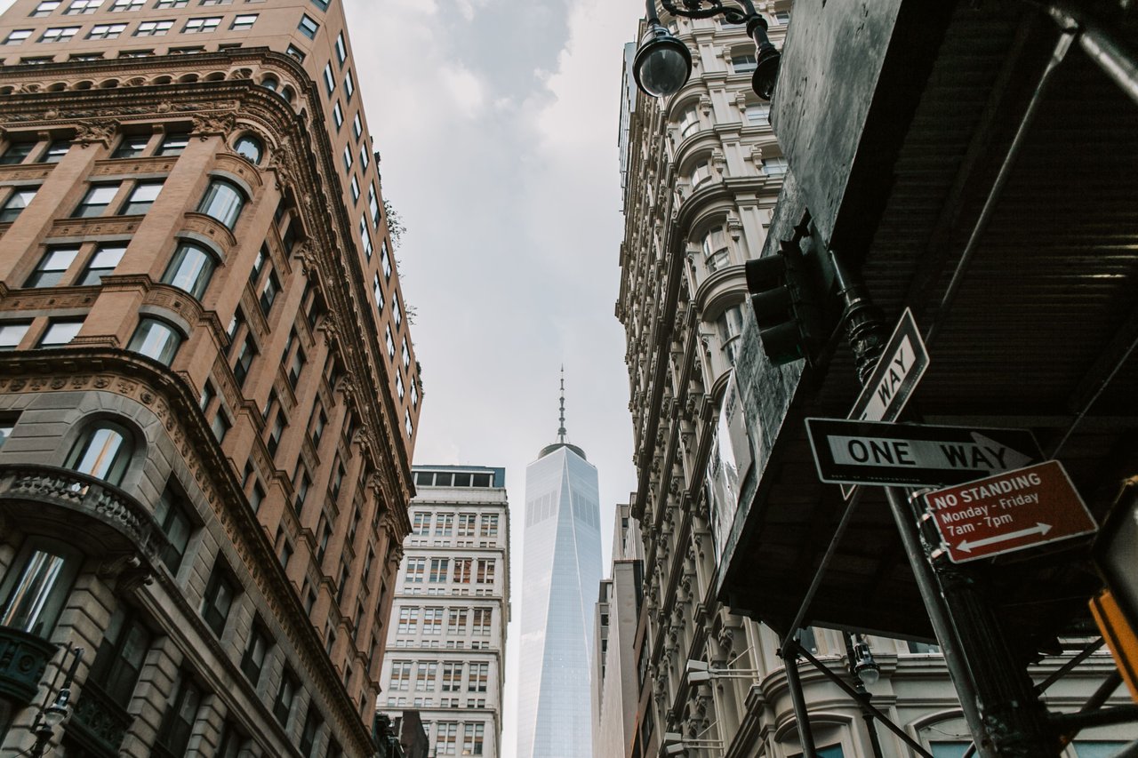
The Financial District developed over several centuries as New York's commercial and financial center. Its architecture includes colonial-era street patterns, nineteenth-century commercial buildings, early skyscrapers, and modern office towers.
Battery Park City introduced a different approach to urban development, with coordinated residential districts, landscaped streets, and extensive waterfront parks.
The esplanade provides a striking contrast to the narrow historic streets farther east. Its broad pedestrian spaces and river views illustrate how Lower Manhattan's urban environment expanded beyond its original shoreline.
The Battery Park City Esplanade and West Street
West Street is one of Lower Manhattan's principal north-south transportation corridors and forms an important boundary between Battery Park City and the older Financial District.
Historically, the roadway served the Hudson River waterfront, where shipping facilities and warehouses dominated the shoreline.
During the twentieth century, major transportation infrastructure reshaped the corridor. The creation of Battery Park City introduced a new residential and commercial environment to its west.
The esplanade occupies the opposite edge of the neighborhood, along the river itself.
Together, West Street and the esplanade illustrate two different forms of waterfront infrastructure: a major urban roadway and a landscaped public promenade.
The Battery Park City Esplanade and Contemporary Residential Development
Residential architecture is one of the defining features of Battery Park City. Along the waterfront, modern condominium and rental buildings have been developed in relation to public parks, pedestrian routes, and river views.
The neighborhood's buildings represent several periods of residential construction, with variations in height, facade materials, and architectural expression.
Some developments emphasize masonry facades and traditional urban proportions, while others incorporate more contemporary glass and metal construction.
The Battery Park City Esplanade contributes to the setting of these buildings by maintaining a continuous public landscape between the residential neighborhood and the Hudson River.
This relationship is an important part of Battery Park City's architectural identity.
The Battery Park City Esplanade and Waterfront Resilience
Waterfront resilience has become an increasingly important consideration in Lower Manhattan's planning.
Battery Park City's location along the Hudson River requires attention to coastal flooding, storm conditions, and the long-term management of public infrastructure.
Resilience projects have been planned and undertaken in different sections of the neighborhood, including the southern waterfront.
These projects seek to combine protective infrastructure with the continued use of public parks and pedestrian spaces.
The Battery Park City Esplanade is part of this evolving waterfront environment, where landscape design and infrastructure planning must work together.
The Battery Park City Esplanade and Modern Urban Planning
The Battery Park City Esplanade is a significant example of late twentieth-century urban planning in Manhattan.
Unlike the historic streets of the Financial District, which developed gradually over centuries, the esplanade was created within a coordinated neighborhood plan.
Its design emphasizes pedestrian movement, continuous public access, landscaped waterfront spaces, and connections between residential and commercial buildings.
The promenade links parks, plazas, marina spaces, and neighborhood streets into a connected public landscape.
This approach helped establish Battery Park City as a distinctive model of waterfront redevelopment.
The Battery Park City Esplanade Today
Today, the Battery Park City Esplanade remains one of the defining public spaces of Lower Manhattan's western waterfront.
Its history reflects the transformation of former industrial shoreline into a planned neighborhood with contemporary architecture, landscaped parks, and continuous pedestrian access to the Hudson River.
The esplanade connects Rockefeller Park, North Cove, Brookfield Place, South Cove, and the southern waterfront landscapes of Battery Park City.
Its proximity to the Financial District places it alongside one of Manhattan's oldest commercial centers, creating a contrast between historic downtown architecture and modern waterfront planning.
The Battery Park City Esplanade illustrates how New York continues to adapt its shoreline, integrating public landscapes, residential development, commercial architecture, and modern infrastructure into the evolving city.